
Lees Ferry, AZ Tuesday June 4, 2013
Didn’t do much today, I’m practicing. Hank and I got up at 5:15 local time and walked up to the boat launch and Lees Ferry buildings. I have pictures on my camera and while post some later.
My Life and Travels


Inside it was 100° and on the picnic table under the metal cover it topped out at 109°.
Goal is to do nothing tomorrow, getting away from the cottonwood at Zion has helped Jean feel better.
7:13 still 95°.
 I set and looked at this all day.
 And sometimes this,
 I did take some videos of the river rafts going by, had a great day.
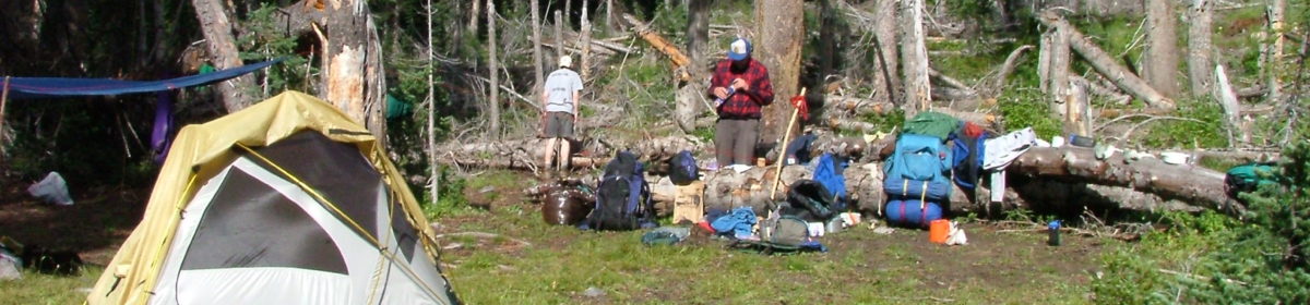
Here is today’s camp site.
 Rear view
 Note the sun cover over the picnic table.

Campsite Homolovi State Park at Winslow, AZ. Yes that is large thunder storm to the right in the picture.
We went to Meteor Crater on Hwy 40 just west of Winslow Az. It is actually really cool place, got there at 9:00 a.m. and left at 1:00. Took a bunch of pictures, will have to stitch 3 together to do a whole picture of the crater.
We’ve had several thunder storms move over tonight, lost power twice but it seems to be staying on now. Will move to Monument Valley tomorrow and then someplace north of Moab, Utah for Thursday night. Friday morning starts the drive home.
Harry

5:50 pm, just pulled off I-40 4 miles eat of Holbrook we are dead center of a thunder STORM, it’s a nice truckstop. This is you STINE!!!!
We had dinner and left Holbrook at 7:30, got the Metor Crater RV park at 8:30, we are know in the middle of a thunder storm and it’s raining HARD.
The campsite picture was taken Tuesday morning.

We made it to Canyon DeChelly National monument a 5:25 pm, we pulled out of the state park at 6:00 am. Stopped at Walmart in Page, went up to the 4 corners of Colorado, Utah, Arizona & New Mexico and then turned south to DeChelly, 378 miles for the day.
I am here: 36 59.933 N 109 2.709 W http://maps.google.com/maps?q=loc:36.99889,-109.04515 this is where my phone’s GPS says the 4 state corners are located.
The campsite picture is at DeChelly. I may add more pictures when I can get directly online.