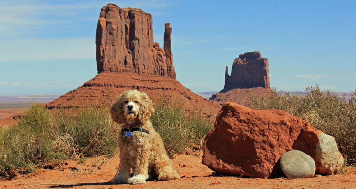
Jean has to work this beautiful weekend so Hank and I are at Crystal Mt.
It does not sound like the best campground around however it really is a nice place when you have the whole place to yourself.
Yesterday Hank hiked up to Hen Skin Lake.

And yes not a cloud in the sky

The first time I was at Hen Skin Lake was in 1959 with Dad and his friend Jim Hogan. That was a long time ago. I think it was 1959 because I don’t remember ever going fishing with Dad when we lived in Enumclaw.
Hen Skin Lake 5552 elevation
here: 46 55.133 N 121 29.024 http://maps.google.com/maps?q=loc:46.91889,-121.48374

This picture is from the mid 60’s. I can tell by pack boards they were made around 63 or 64. I think this was taken on the trail to Hidden Lake, we used to go there a lot for the big trout.
Here are a couple of pictures of where we are camped:
 Looking up to the ridge line.
 Last night Hank & I went for a walk in the dark. He was exhausted when we got back home however when I said walk he was up and ready to go. We had a good weekend.

 Here is my hiking equipment until age 49.
 Here is what I hiked with during my 50’s.

 This one show’s stats from our high point. I noticed today the stats page shows location and altitude.

 Here is the top of Mt Rainier looking past Crystal Mt.


 We move a little further up the area away from the lights.


 Looking up to the ridge line.
 Last night Hank & I went for a walk in the dark. He was exhausted when we got back home however when I said walk he was up and ready to go. We had a good weekend.