 Campsite picture, site 15 – stop over on the way home.
Armitage County Park – Eugene, OR – Sunday November 16, 2014
Campsite picture, site 15 – stop over on the way home.
My Life and Travels
 Campsite picture, site 15 – stop over on the way home.
 Here’s our campsite for Friday and Saturday, we’ll leave here Sunday morning with a target of Eugene, Oregon. It is a beautiful mostly sunny day. Hank and I got out yesterday for a 3.5 mile walk and this morning for 4.5 mile walk.

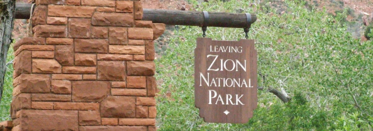
This is the first rain we have seen since before Zion National Park and was taken in northern California on Thursday.

Thursday we drove all the way to Valley of the Rogue State park, I didn’t want to get stuck south of the Siskiyou’s in case the cold air mass decided to move further south and west. Thursday we drove 526 miles and didn’t get here until after 5:00, it was a long day.
 Here is our travel map for this trip. Like I said Eugene on Sunday and then home on Monday.

We are on the road today. Left camp at 7:45 and drove until 3:30. I had looked for RV parks to stay at during the 2 night we’ll be in California but could find to many Passport America places that were not a pain to get too. I decided we’d just to Rest Stops and stop before it gets dark and they start filling up for the night.
Went north on 247 to Barstow and west on 58 to Barkersfield and Hwy 99, north on 99 to 46 where we turned west again until we got to I-5. We are at a rest stop by Avenal, Ca., 305 miles
I think Jean got some road pictures, if she did I’ll add them tomorrow.
Tomorrows driving distance will depend on traffic, I’d like to get to Red Bluff.
 Here is another campsite picture. This campground is nothing to get excited about and if their were many people it is more than likely a nightmare to stay here. The place was mostly empty so it wasn’t to bad.
 Here are pictures of Joshua Trees out across the park.

 One of the neat rock formations.
 As the sun was going down.
 Tomorrow morning we head out north towards home.
I am here: 34 4.437 N 116 23.388 W http://maps.google.com/maps?q=34.07395,-116.3898
(Campsite picture will not post from phone.)
We are on site 65.
Got here at 4:00 PST after a 552 mile drive. Will be here a couple of days before continuing north. Good job Seahawks.

 Doc Holliday and the Earp’s waiting in the street for the encounter at the OK Corral. Doc is on the left and Wyatt Earp is on the right. We went to the show at the actual OK Corral.
 They had to wait for the stagecoach before leaving to meet the Clanton’s.
 These pictures are in the Tombstone Courthouse State Historical Park and has a lot of information about the history of the town.
 Here is one of Wyatt’s guns.

 Here is him using his gun.
 At the end of the day the stagecoach is leaving town. It was a good day in Tombstone, Arizona.

Kartchner Caverns State Park, AZ
Here is some text I took off the website.
“In November 1974 two young cavers, Gary Tenen and Randy Tufts, were exploring the limestone hills at the base of the Whetstone Mountains. In the bottom of a sinkhole they found a narrow crack leading into the hillside. Warm, moist air flowed out, signaling the existence of a cave. After several hours of crawling, they entered a pristine cavern.
The formations that decorate caves are called “speleothems.” Usually formations are composed of layers of calcite called travertine deposited by water. The form a speleothem takes is determined by whether the water drips, flows, seeps, condenses, or pools.
Kartchner Caverns is home to:

The amazing part of the these caves is from the moment of discovery the goal was to keep them protected and to allow people to see them. All the caves I’ve been in before had damage done to them before they were protected. These are amazing and to help keep them this way no cameras are allowed in the caves :-(.
It was 1988 before the cave discovery was published to the general public.
This was taken from Wikipedia.
“The caverns were discovered in 1974, when cavers Gary Tenen and Randy Tufts found a narrow crack in the bottom of a sinkhole, and followed the source of warm, moist air toward what ended up being more than 2.5 miles (4.0 km) of pristine cave passages.Hoping to protect the cave from vandalism, they kept the location a secret for fourteen years, deciding that the best way to preserve the cavern — which was near a freeway — was to develop it as a tour cave. After gaining the cooperation of the Kartchner family and working with them for ten years, together they decided that the best way to achieve the goal of protection through development as a tour cave was to approach Arizona State Parks. In 1985, Governor Bruce Babbitt secretly left the state capitol with two bodyguards and spent three hours crawling through the cave’s tight passages to reach the cave’s showcase chambers, including the Big Room, Echo Passage and Cul-de-sac Passage. The discovery of the cave was finally made public in 1988 when the landowners sold the area to the state for development as a park and show cavern. The state spent $28 million on a high-tech system of air-lock doors, misting machines and other gadgetry designed to preserve the cave.”
Here is some information and pictures about how they developed the caves.
I took this off the Arizona website.
Kartchner Caverns’ development spanned nearly 11 years, 1988–99, and cost almost $35 million. During that time, we designed innovative ways to allow public access while protecting the cave.
When touring Kartchner Caverns, you appreciate its beauty. But do you wonder what it took to open the cave for public access while keeping its natural beauty intact?
Before entering the cave, you pass through a series of conservation doors which prevent moisture loss from the cave. You receive a mist “shower.” The mist moistens the particles of lint, skin and hair we shed so they fall onto the trail. The trail’s high curbs help contain the particles, allowing us to wash the trails and pump the residue out of the cave. Why do we care? Because particles like lint become food for fungus colonies that can ruin the beauty of the cave.
A major difference between Kartchner Caverns and other show caves is that the lighting is separated into 2 functions: one needed for safety and the other to enjoy the views. As you tour the cave the lights are controlled by the tour guide. This allows us to have less overall illumination, which in turn means fewer problems with algae growth and heat build-up.
Glancing over the side of the trail, you will not see any damage from construction. This is an example of another innovation developed here called “linear construction.” We built several feet of trail, then stood on that to build the next several feet. In that way, we contained human impact to the actual trail itself.
The original entrance to the cave, and the one the bats still use, is through the blowhole, a tight fit for the smallest person. Tunnels were the answer to getting visitors into the cave.
The tunnels were a challenge. Mining 1,100 feet of tunnels through highly fractured rock was costly and time-consuming. Depending on the geological conditions, tunneling cost $300 to $3,000 per linear foot and took 2 years to complete. Low-yield dynamite charges were used to lessen vibrations. Plywood and mattress blast barriers protected the cave from shock waves at junctions in the tunnels. Air locks were built in the tunnels, and plastic barriers were erected in the cave to prevent moisture loss. In the last 25 feet before breaking into the cave, miners stopped blasting with dynamite and switched to drills and mechanical splitters.
The trails in the cave are the result of 7 years of backbreaking work by the Arizona State Parks’ cave development crew. Using electric, pneumatic and hand tools they broke and moved rock, stabilized slopes, built trail bed and retaining walls, laid conduit and pulled miles of wire. They worked in heat and humidity inside dimly lit plastic tents to contain the dust. Surprisingly, there were no serious injuries, only scrapes and bruises.
Wood used in the cave for concrete forms was washed with bleach and coated with polyurethane to seal it against contaminating the cave with sawdust or insects. Concrete reinforcing rebar and remesh were coated with plastic to prevent rust. All construction materials were tested prior to their use to see if they outgassed harmful chemicals or would provide a growth medium for fungus.
You may be surprised to know that very little taxpayer money went into developing the cave and park facilities. Here’s the breakdown on the money:
 The tours of this cave was amazing.
 The park has 60+ sites and is mostly empty maybe 7 people here. When we got here the camp host moved us to a better site than the one I picked online. He said they were mostly empty until Thanksgiving and then the campground is full until March.

 We got a one hour tour down into the site including the control room and missile launch silo.
 This is one of the seven blast doors each weighing 6000 pounds which can be closed by a single hand lightly pulling on the door handle.
 This is the main control panel where the watch officer sat.
 Here is one of the main passages within the complex.
 Here is the missile from an access point that was cut into the silo so we could see what the missile looked like inside it’s silo.
 Picture from the silo.
 Here we were looking done into the silo.
 The launch missile site.


This is a picture of Titan II missile launched from an above ground launch site.
It was a very interest tour and we are glad we went.