Woke to a sunny cooler morning. Having our regular morning, coffee and Bailey’s with Andes’ chocolate. We plan to hike up the right side of the valley.
Here is a great picture Don took during the lighting storm last weekend. It was posted on weather.com.

This is the second post for today, Hank & I hiked up right side of the valley under The gondola.
High point:
I am here: 46 56.46 N 121 29.257 W http://maps.google.com/maps?q=loc:46.94101,-121.48763
5552 alt

Here are couple of view pictures


Some screen shots from tracking app.


High point.
Distance is plus a mile, the road is rocky and I was getting concern about Hank’s feet.
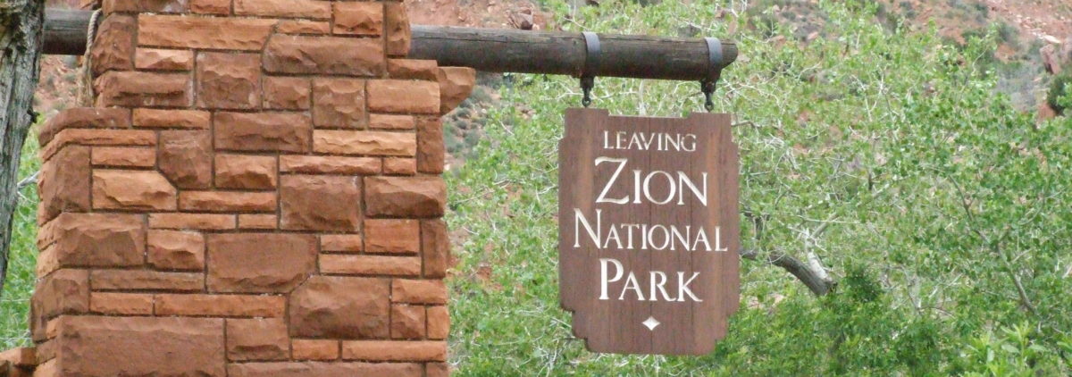
This sign is at the start of the road going up hill, and it is up.


 Have a great Sunday.
 View –

 This is the spot.
 This is the altitude at one of the lifts.
 And this what my phone said
 This is taken with a HDR camera app.
