Another great day at Zion.
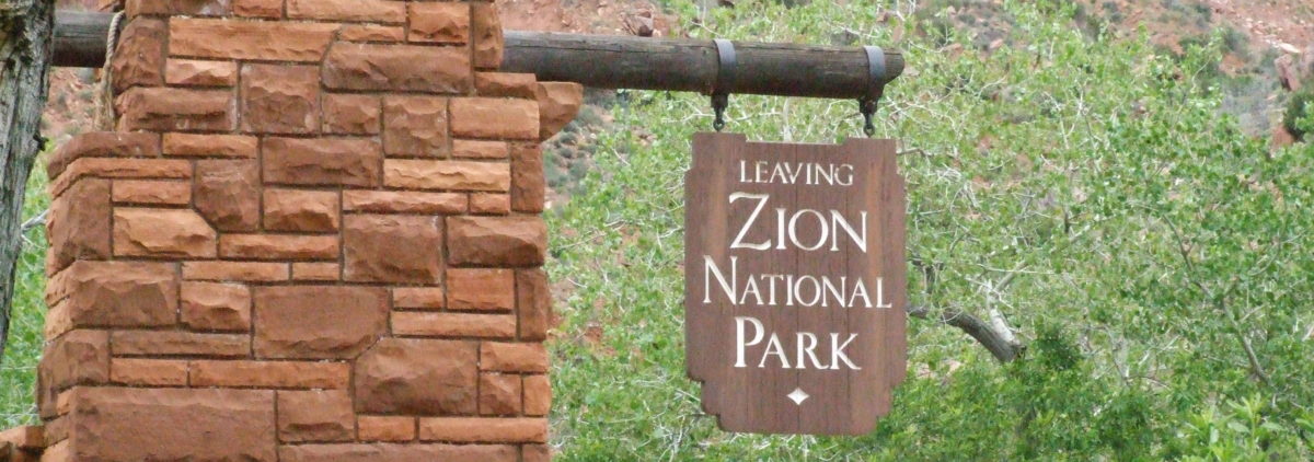
Tomorrow we move to Coral Pink Sand Dunes State Park. We have reached the maximum of 14 days at Zion between March and October. We’ll be at Coral Pink for Friday and Saturday. Sunday we’ll drive to Canyon de Chelly National Monument with a goal of Monday being at Hubbell Trading Post National Historic Site. Jean wants to see this trading post and we have not spent much time in northeastern Arizona.
We may not have internet access for a while so this may be the last post for a couple of days.
Here’s a bit a information that may useful in the future.
One – don’t leave your door open when you’re not home.
 Two – If you’re going to bring the kitty be sure it’s as least as big as the squirrels.

Yesterday I didn’t mention that the two condors were number 52 and 99 ( that’s the only numbers I could see on the tags). I spent some time and here’s what I found out about them.
99= is number 299, age 8 Male, born 4/17/2003, released 3/20/2004, note on National Park Service Condor information site, ( http://www.nps.gov/grca/naturescience/upload/condor-chart20110713.pdf) ’11: Seemed likely to nest near Angel’s Landing in Zion NP, with 343F/A3. But sent to V.C. for chelation due to high lead levels, instead.
52= is number 352, age 7 Female, born 5/29/2004, released 3/1/2005.
Have a GREAT day, Harry.
 We are at Horse Thief Campground outside Moab, Utah
 At 5:30 a thunder shower did come through, looking at a few of the pictures I took I think we did the right thing.
 This is the water running off the awning after only a couple of minutes.
 Water just starting to run under the motor home, at the height of the rain is was a sheet of water running under the whole motor home.


 On the way back down I saw several condor flying along the ridge line of Scout Pass and Angel’s Landing. I could not read the wing tag numbers until I downloaded the pictures. Here a a few of the pictures I took.


 Some of the pictures I took at our stop at the Golden Spike National Monument are
 Wednesday is supposed to be a little warming with no afternoon clouds.
 Got to Zion at 12:45, 80 degrees and rained most of the afternoon. Didn’t do much in the afternoon mostly read and stayed out of the rain.