 This is the part which is above ground. We were able to go inside this building and watch as they were taking observations of the sun.
 This drawing shows the relationship of the above ground structure and what is below ground.
 The observatory is only 6.29 miles east and a little north of here. This is from Google earth. The drive to get there is 50 miles.
 This picture show’s the distance. The elevation change is from 4420 to 9256.
 Here is the whole area showing where we are, the Observatory, White Sands and Alamogrodo.
National Solar Observatory – Thursday October 16, 2014
Today we went to the National Solar Observatory

 Had a great day.
 They just finished a ten year updating of the electronics including the computer system.
 They had made this sign so everyone would know where the tour’s start.
 Here’s the challenge, the sign is with the yellow flags 150 yards away from the visitor’s center from where you could see the flags but not the sign.
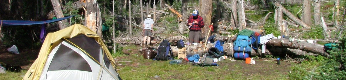
 Here is some information about the place we are camped.

 I took this picture so there would be something in the picture that wasn’t just white.
 One with a couple of plants.
 This is the edge of one of dunes.
 and I have a bunch of pictures showing the waves in the sand. Hank had a great time walking around on the sand.
 This evening I took a bunch of night pictures. It is really hard to believe how many stars there are in the sky. The Milky Way is much easier to see in a picture, these are all about 20 seconds long.
 I just missed a shooting star in this picture, it was just to the left of my picture.


 The fort was built out of adobe and they are washing away with time.
 One end of the parade ground to the other.
 This is an amazing bronze sculpture of a buffalo soldier our served at this fort.
 We found one Lange Pvt I from the 8th Cavalry who served at this fort, on dates for first name with listed on the roster.


 Notice the star on the left side of the picture.


 Great site, number 56 asphalt and level, you can see the WIFI repeater pole coming out of the top of the RV. The pole and base alone has to be $300.00 installed.
 Here is map of our travels to date:
 We have come quite a ways and it’s been a great trip.
 Aerial
